Ir al contenido
RUTAS
RUTAS A PIE
RUTAS EN BTT
RUTAS DE CICLOTURISMO
RUTAS ENDURO
RUTAS GRAVEL
RUTAS TRAIL RUNNING
BLOG
RECOMENDACIONES
LITERATURA
NOVELA GRÁFICA Y CÓMIC
VÍDEOS Y DOCUMENTALES
PODCASTS
INTERACTIVOS
STORY MAPS
ENLACES
REFUGIOS DE MONTAÑA
WEBS Y BLOGS
REVISTAS Y MAGAZINES
CONTACTO
RUTAS
RUTAS A PIE
RUTAS EN BTT
RUTAS DE CICLOTURISMO
RUTAS ENDURO
RUTAS GRAVEL
RUTAS TRAIL RUNNING
BLOG
RECOMENDACIONES
LITERATURA
NOVELA GRÁFICA Y CÓMIC
VÍDEOS Y DOCUMENTALES
PODCASTS
INTERACTIVOS
STORY MAPS
ENLACES
REFUGIOS DE MONTAÑA
WEBS Y BLOGS
REVISTAS Y MAGAZINES
CONTACTO
Buscar
·
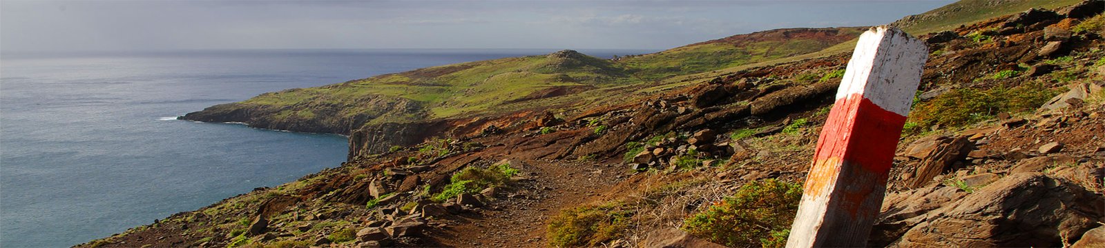
TOUR DE LAS CASCADAS
·
UBICACIÓN
P. N. de Ordesa y Monte Perdido
Gavarnie
COMARCAS
Sobrarbe
Occitània
WEB – REDES SOCIALES
www.tour-ordesa.com/tour-de-las-cascadas/
RUTA CLÁSICA
6 ETAPAS
103,8 kms
| +7.475 m
| -7.472 m
Ref. de Pineta – Ref. Espuguettes
Ref. Espuguettes – Ref. de Sarradets
Ref. de Sarradets – Ref. de Bujaruelo
Ref. de Bujaruelo – Ref. de Góriz
Ref. de Góriz – Lamiana
Lamiana – Ref. de Pineta
DONDE DORMIR
Refugio de Pineta (1.240 m)
Refugio de Espuguettes (2.027 m)
Refugio de Sarradets (2.587 m)
Refugio de Bujaruelo (1.338 m)
Refugio de Góriz (2.160 m)
PICOS OPCIONALES
Taillón (3.144 m)
Monte Perdido (3.355 m)
·
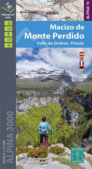
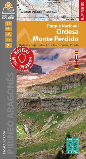
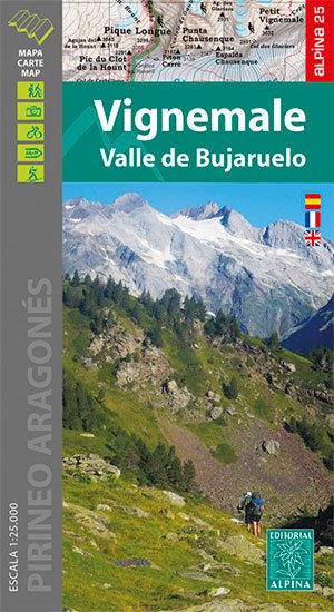
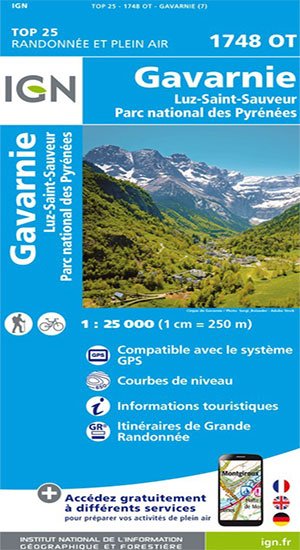
CARTOGRAFÍA - GUÍAS
·
ARTÍCULOS Y RUTAS RELACIONADAS
TOUR DE LAS CASCADAS
08/06/2022
TRAIL RUNNING ORDESA Y MONTE PERDIDO
08/06/2022
CICLO PERDIDO EXTREM ROAD
08/04/2020
MONTE PERDIDO EXTREM
08/04/2020
CICLO PERDIDO EXTREM BTT
08/04/2020